
Europe maps
The Europe map, ready to color.
EU, Schengen, DACH, Benelux, Nordics, Balkans, Baltics — one click each. Or pick any custom set of European countries and make it yours.
Open the EU map →Free to start, no sign-up. Runs in your browser.
The problem
European maps have the most moving parts.
EU or Eurozone? Schengen with or without Ireland? Europe is where map mistakes get noticed — and where assembling the right country set by hand takes the longest.
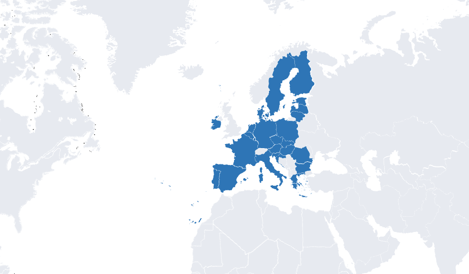
Mappeus ships the groups ready-made and kept current: EU-27, Eurozone, Schengen, NATO’s European members, DACH, Benelux, Nordics, Baltics, Balkans. One click selects the whole set; your color and legend finish the job.
How it works
From preset to finished map.
Pick a European group
EU, Schengen, DACH, Nordics and more — or search and click any custom set of countries.
Color and label it
Apply your colors, add a legend row per group, and zoom the view to Europe.
Take it anywhere
PNG for slides, SVG for Figma and Illustrator, PDF for print — sized automatically.
Use cases
Europe maps people make.
- 01EU membership and policy maps
- 02DACH / Benelux / Nordics market breakdowns
- 03European sales and distribution coverage
- 04Teaching materials on European geography and institutions
Why Mappeus
Built for the map, not the software.
Faster than design tools
No layers to ungroup, no countries to hunt for. Select, color, export — minutes, not hours.
Looks intentional by default
Hand-crafted map geometry, curated themes and precise brand colors keep every export presentation-ready.
The right file, automatically
Pick where the map is going — Mappeus prepares the correct format, size and resolution for that destination.
Everything stays editable
SVG exports keep every country as a separate named layer for Figma, Illustrator, Sketch or Affinity.
FAQ
Good questions.
Which European groups are built in?
EU, Eurozone, Schengen, NATO, DACH, Benelux, Nordics, Baltics, Balkans and more — plus continents and world groups like G7 and OECD.
Can I export just Europe, not the whole world?
Yes — zoom to Europe and choose the “On screen” export area, or use a frame to crop exactly the region you want.
Is the map up to date?
The map is hand-maintained; membership groups like the EU-27 reflect current members. Spotted something off? The feedback page reaches the maker directly.
Can I edit the exported Europe map later?
Yes — SVG exports keep every country as a named layer, so you can refine them in any design tool.
Start now
Your Europe map, one click from done.
Open the editor with the EU already selected and colored — then make it yours.
Free to start, no sign-up.